
Observations on land, river and lake
SeeOnSea tools are available to everyone.
Whether you act as a citizen, tourist, employee of a company entreprise ou scientifique, and whether you are a user of a web or mobile application, a personalized application, a partner website ou d’une partner application, SeeOnSea shares information, knowledge and advice with you.
- If you do this as a scientific expert, you have a validation process for your observations which will be marked "verified observation".
- If you act as a citizen, tourist, employee of a company, your observations will be marked "unverified observation" and will subsequently benefit from a validation process.
Indeed, our data and knowledge come mainly from partner scientific bases including that of the INPN(National Inventory of Natural Heritage).
In addition, the observations collected are regularly reported to the INPN.
Information and observations on land, river and lake
Our tools are designed to mix terrestrial and marine data at your convenience. However, the web, mobile and personalized applications only deal with one of the two aspects. SeeOnTrail is the name under which you will find our applications “land, river and lake”.marine applications are called SeeOnSea.Why record an obs?
To reference and share your observations, whether they concern biodiversity or more generally the environment, participate in data collection and thus highlight the richness of our nature.How to create an obs?
Nothing could be simpler, just click on the map (after having zoomed in more or less) then indicate the type of observation and validate. If you have a free account you will have more of possibilities.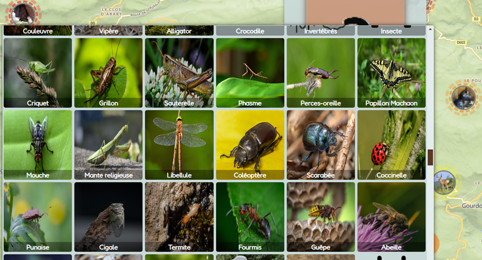
Concept
The entire SeeOnSea system is built around five types of observations:- Wildlife,
- Flora,
- Natural phenomena (natural danger, volcanic eruption, tornado, etc.),
- The human footprint (pollution, fire, closed road, bicycle rental, ...),
- Remarkable sites (statue, ruin, pass, natural spring, ...)
The main objective of the complete system is to disseminate knowledge and raise citizen awareness to improve behavior.
It consists of a set of intuitive tools which offer many possibilities.
A set of features
A powerful search function
The search function is designed to be simple to use, efficient and complete. It notably offers seasonality and the possibility of mixing several species.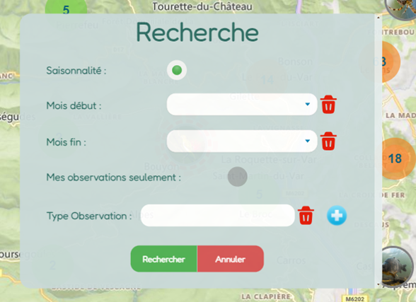
Provenance of an observation
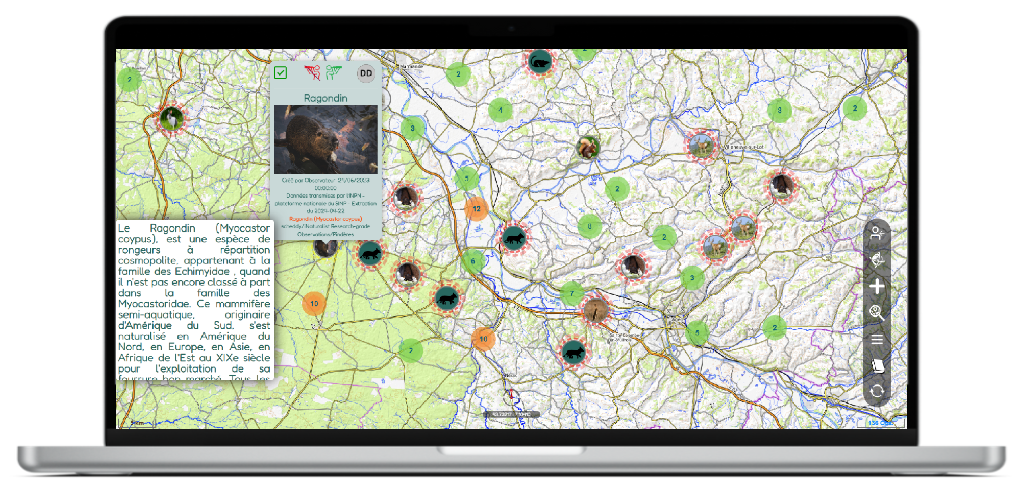
The organization behind the observation is always clearly indicated.Observations and information
Each observation is automatically accompanied by a mini-wiki file whose information and photos come from Wikipedia or a data source from one of our partners.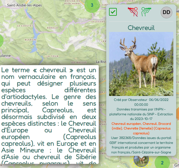
Each observation is noted as "verified" if it comes from a scientific network or has been validated by the INPN.
In addition, each observation refers to the IUCN Red List and allows you to indicate whether the species is threatened.
Confirmations of observations
Every observation can be confirmed, even those created by scientists: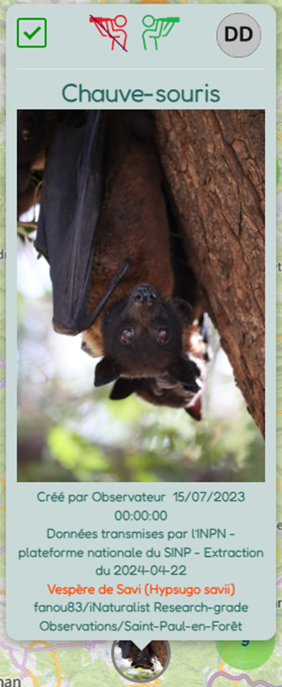
Scientific knowledge
Popularized scientific articles are made available;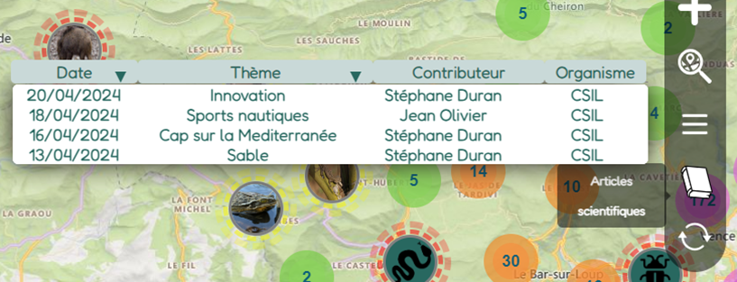
Respect and kindness above all
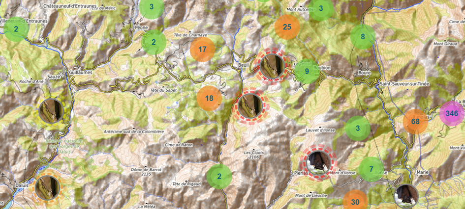
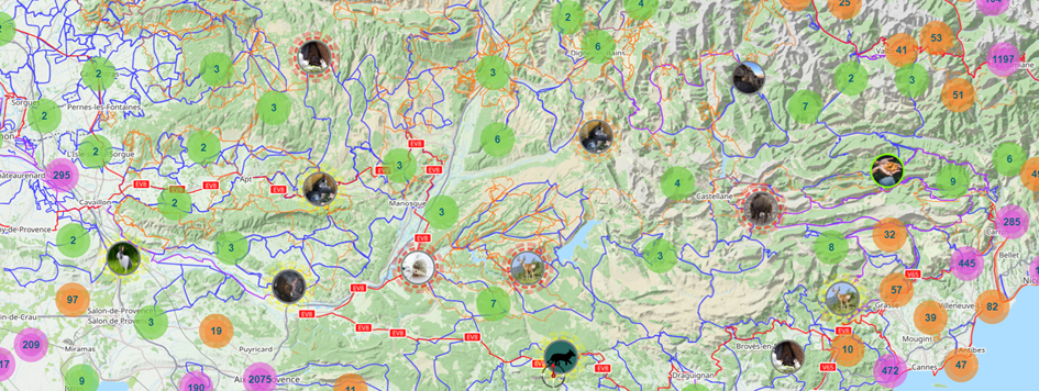
In order to encourage respectful and caring curiosity about biodiversity, observations are either indicated with an approximate geolocation (see image below) or shifted in time depending on the species.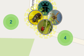
Why create your own account?
Because it's free and you unlock many features.Creating an account only takes a few seconds and only requires having an email address.
It does not record any other information and personal data.
Creating an account will allow you to track your data and use features such as:
- Modify one of your observations (date and time, GPS coordinates, etc.),
- Move one of your observations for 24 hours in order to follow its direction,
- Create a group or community and be able to issue invitations,
- Search for your observations,
- Use internal messagingsecure,
- Share us your ideas or comments.
Groups and communities
User account holders can create groups and communities, then invite users to join them to share their observations with each other.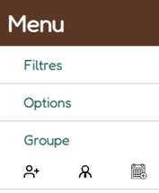
Filters, options and secure internal messaging,
Many options and filters are available. And secure internal messaging is made available for user account holders:
Many cards available
- Vue satellite,
- Météo,
- Vent,
- Précipitation,
- Neige,
- Etc.
Land maps menu:
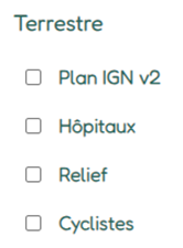
Relief :
Cycle lanes:
How to access our applications?
SeeOnTrail applications are available here: Web application without downloading:
Downloadable applications for mobiles: